Fulda (plaque)
Historical background
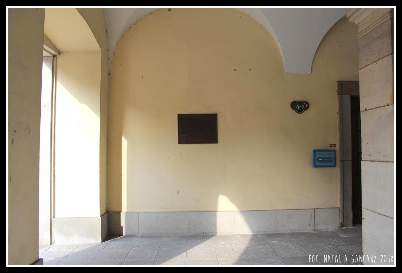
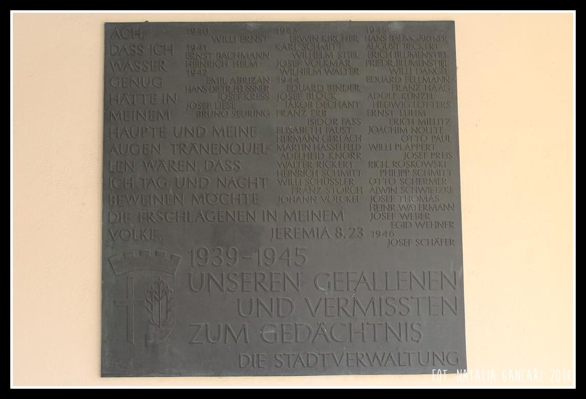
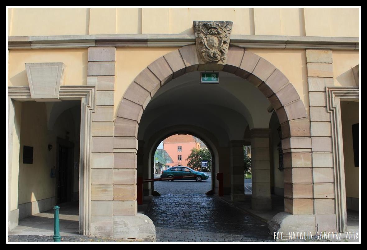
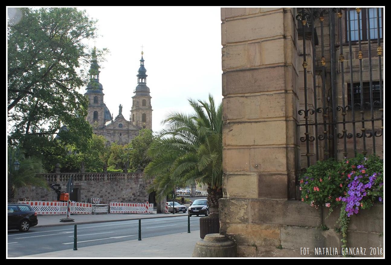
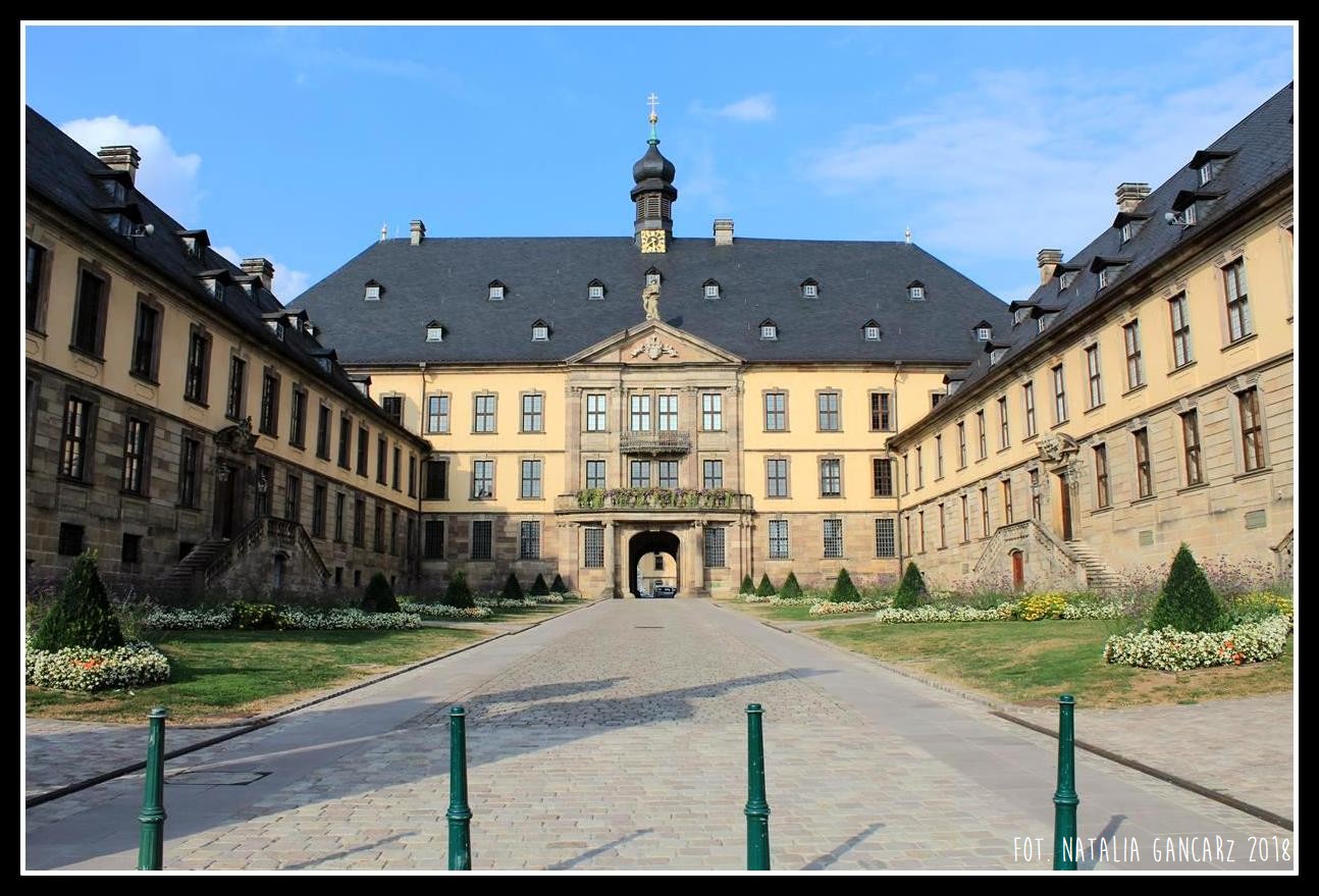
Inside the side gate to the palace in Fulda, leading to the inner courtyard (a car park), from Schloßstraße – there are two bronze plaques. The one on the right features a motto from the biblical Book of Jeremiah (“…”, Jer 8:23) and the names of the city’s inhabitants who died in 1939-1945. Opposite, i.e. on the left wall of the inner gate – a comparatively small plaque is embedded that commemorates the local Gypsies.
Description of commemoration
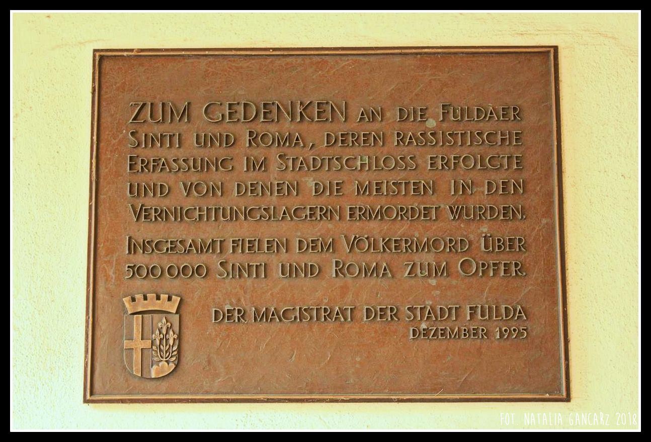
A plaque dedicated to the memory of the Sinti and Roma from Fulda honours those who were imprisoned in the palace in Fulda, as well as other 500,000 European Gypsies murdered during World War II.
The plaque has an inscription in small caps written in slender serif, raised font with sharp edges. The background is slightly textured and the narrow frame is devoid of any decorations.
In the lower left hand corner there is the coat of arms of the city: on the left a cross, on the right three lilies growing from one point on a triple cloud. Above the coat of arms is a crown ended with five battlements [in the heraldry it is called “corona muralis”, and the five battlements were used in heraldry only by large, capital cities – ed. G].
Inscriptions
In German:
Zum Gedenken an die Fuldaer / Sinti und Roma, deren rassistische / Erfassung im Stadtschloss erfolgte / und von denen die meisten in den / Vernichtungslagern ermordet wurden. // Insgesamt fielen dem Völkermord über / 500 000 Sinti und Roma zum Opfer. // Der Magistrat der Stadt Fulda / Dezember 1995
Translation:
In memory of Sinti and Roma from Fulda, who were detained on racial grounds in this palace. Most of them were murdered in extermination camps. In total, more than 500,000 Sinti and Roma fell victim to the genocide. Fulda City Council. December 1995.
Date of the unveiling
9.12.1995
Initiator
Verband Deutscher Sinti und Roma Landesverband Hessen e.V.
Address
Inside the palace gate from Schloßstraße
Schloßstraße 1, 36037 Fulda, Germany
Location
50°33’14.9″N 9°40’36.7″E
50.554133, 9.676871
<iframe src=”https://www.google.com/maps/embed?pb=!1m18!1m12!1m3!1d622.1792579189168!2d9.676323829252077!3d50.5541329987181!2m3!1f0!2f0!3f0!3m2!1i1024!2i768!4f13.1!3m3!1m2!1s0x0%3A0x0!2zNTDCsDMzJzE0LjkiTiA5wrA0MCczNi43IkU!5e1!3m2!1spl!2spl!4v1539630661535″ width=”600″ height=”450″ frameborder=”0″ style=”border:0″ allowfullscreen></iframe>