La Morellerie (memorial)
Historical background
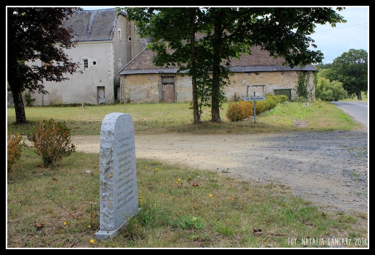
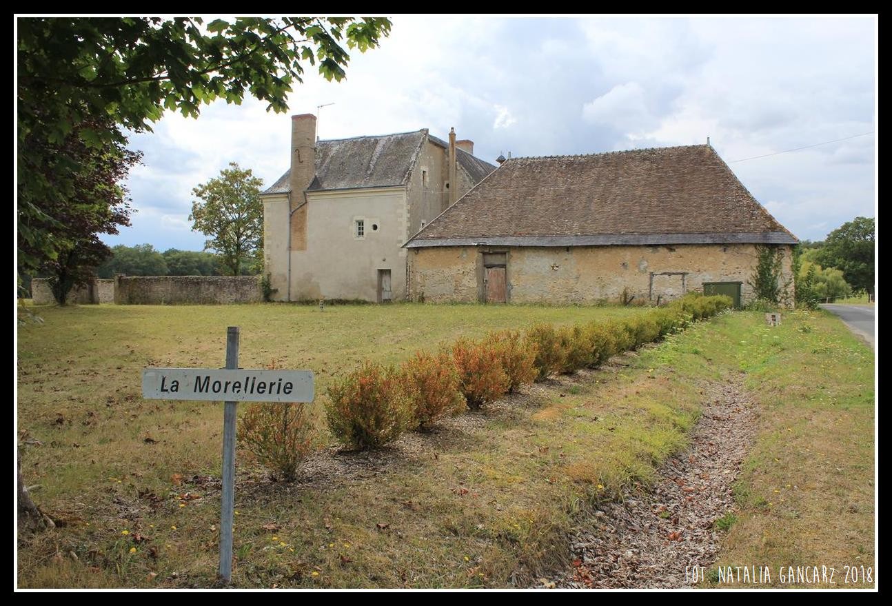
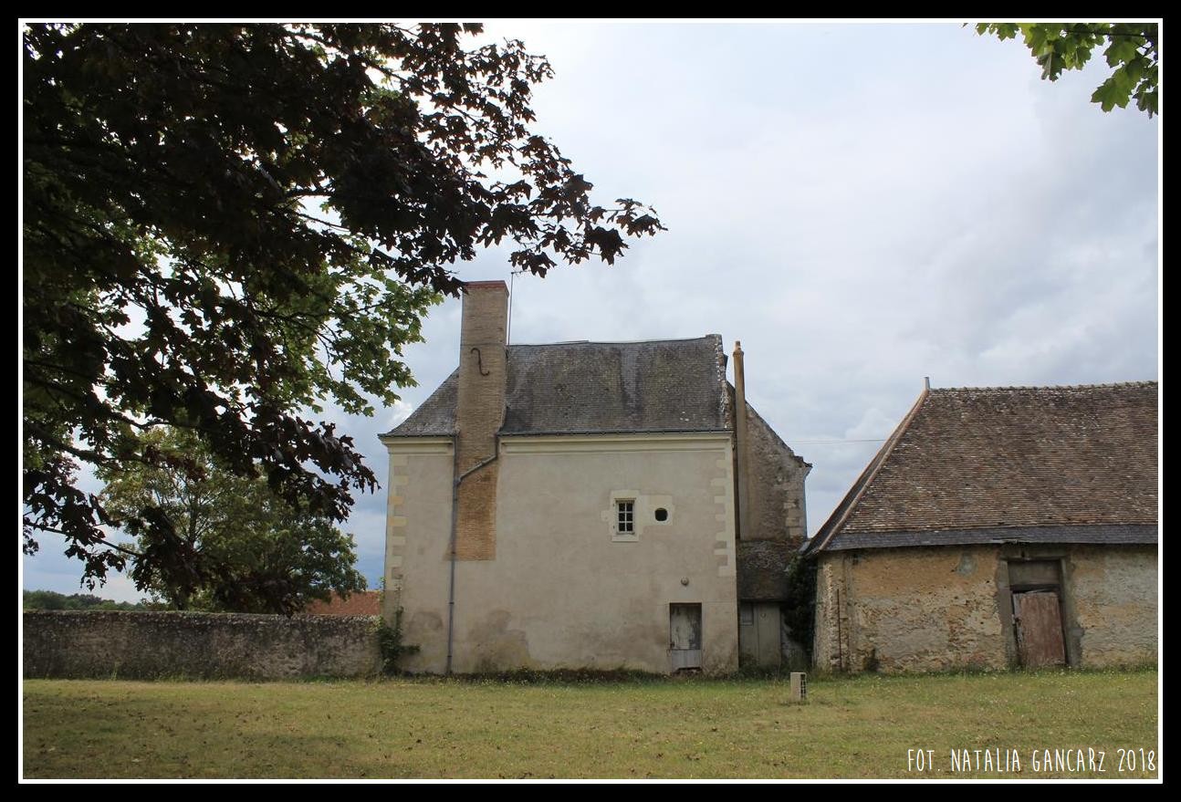
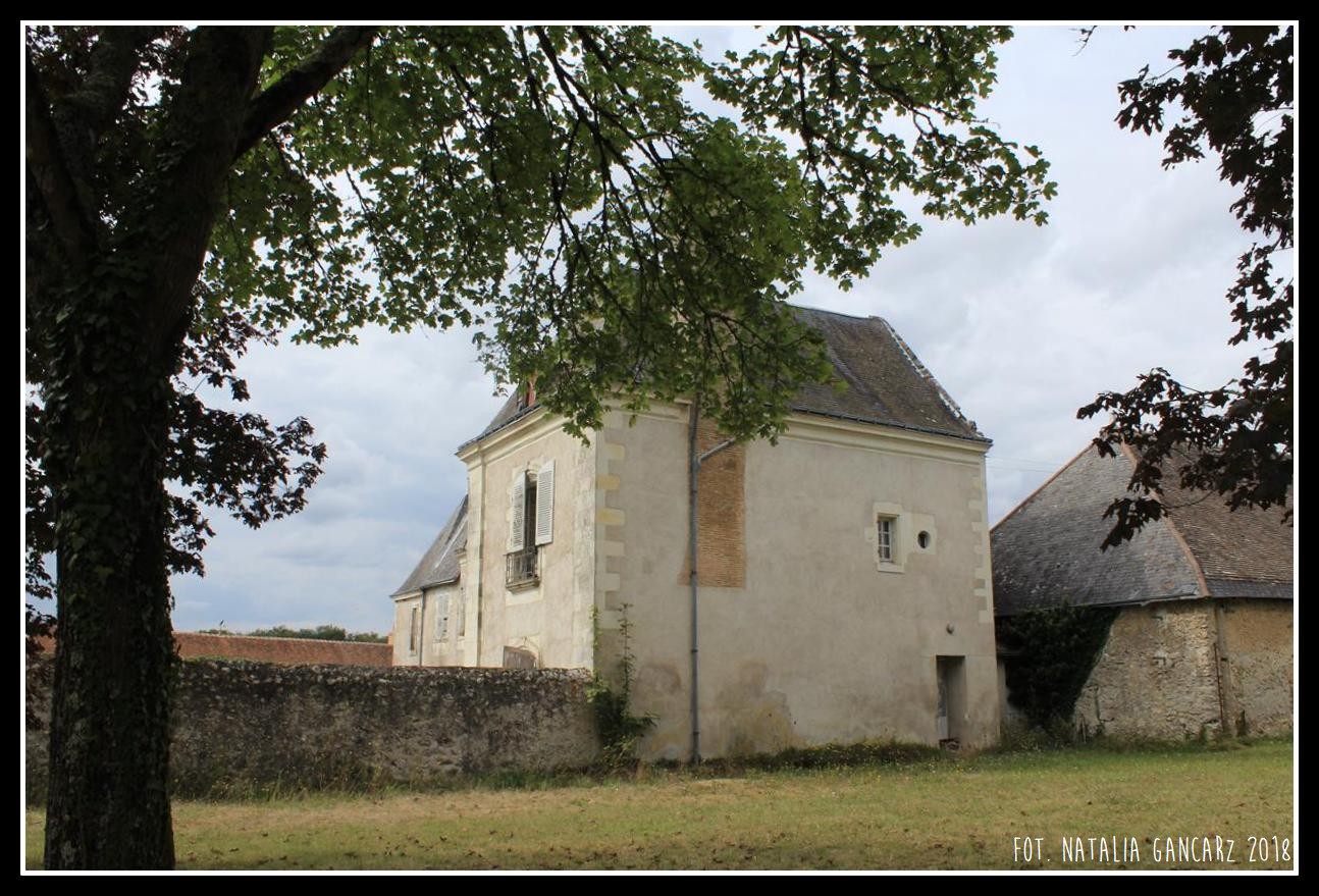
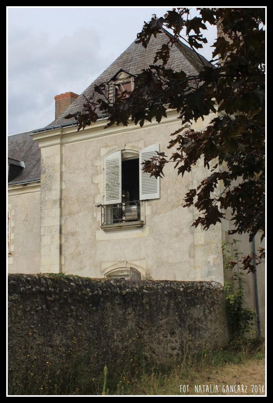
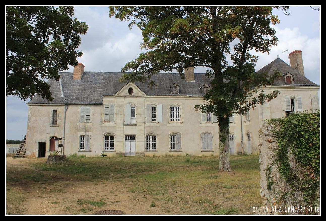
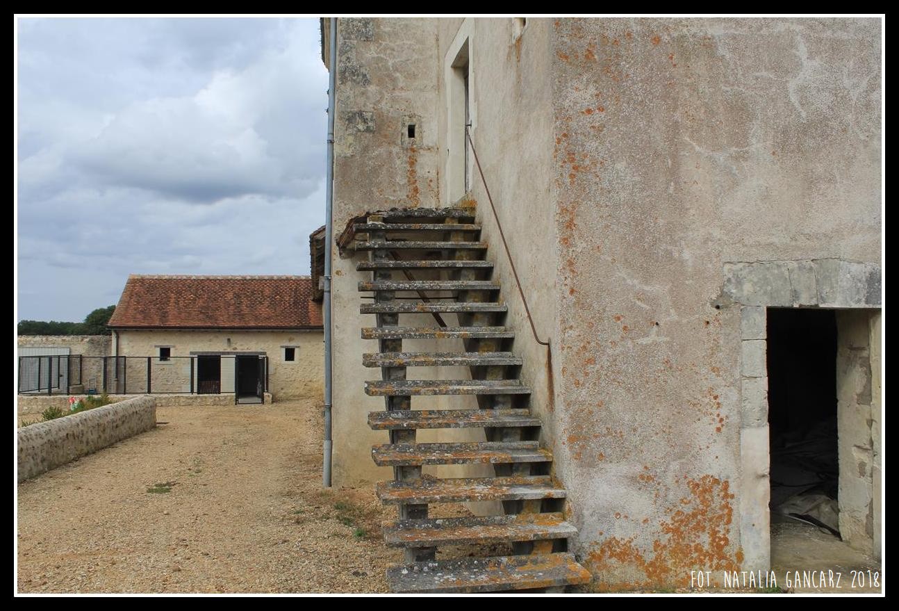
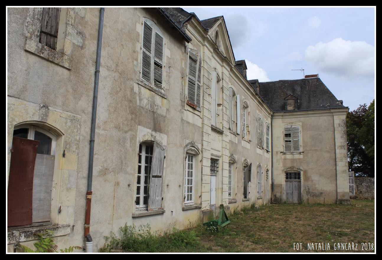
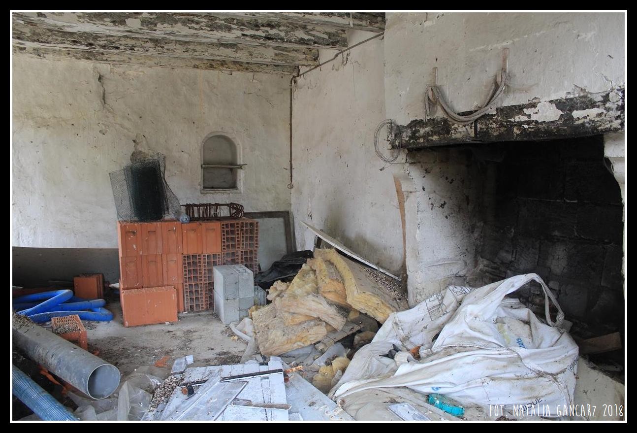
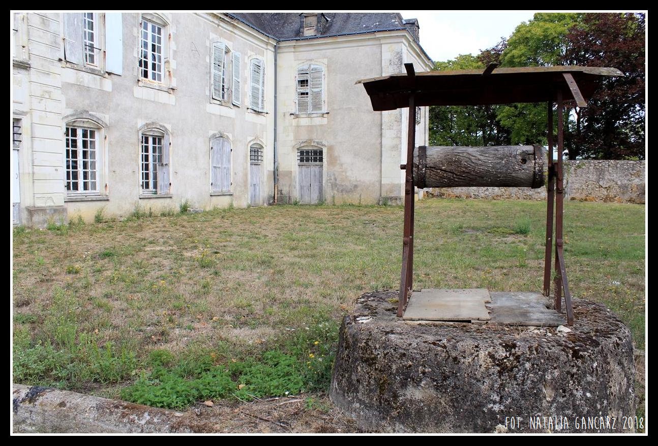
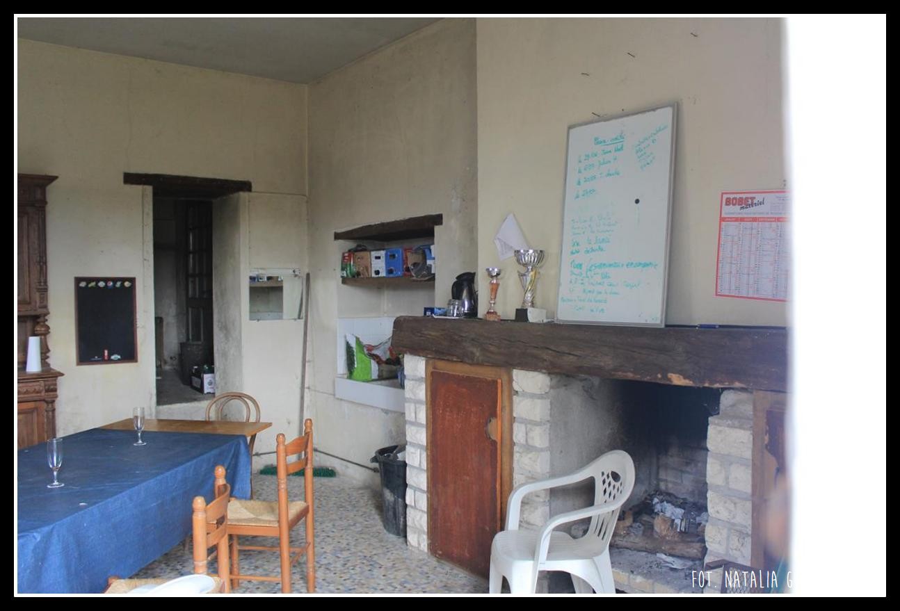
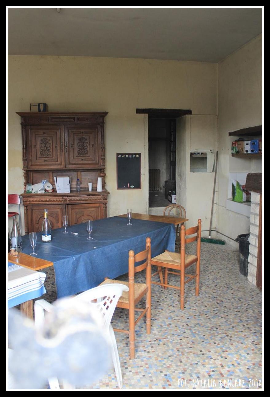
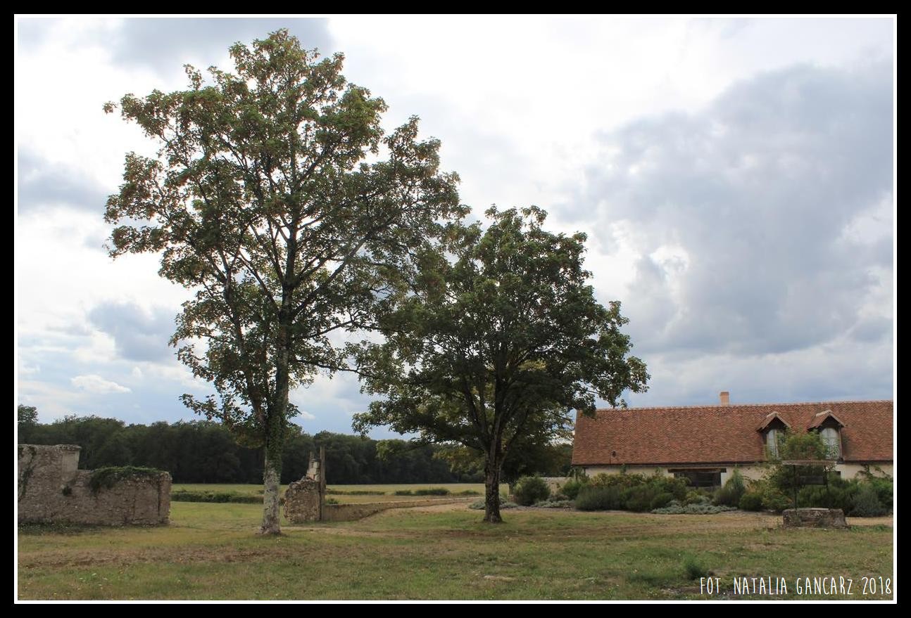
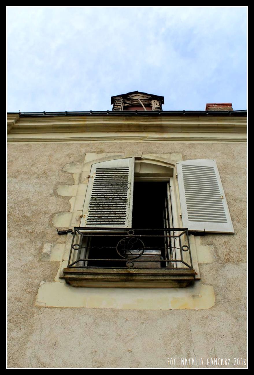
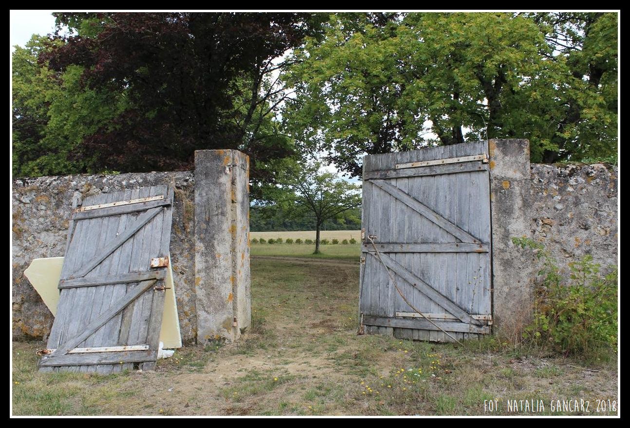
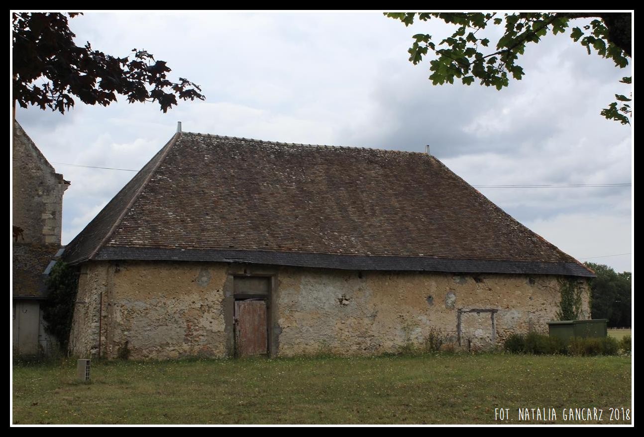
On the La Morellerie farm, located between Avrillé-les-Ponceaux and Continvoir (Indre-et-Loire District), there was a detention camp for nomads who stayed there for almost a year, from December 6, 1940 to November 8, 1941. They lived mainly in their wagons and were forbidden to enter the manor house. During their internment they worked as farm workers.
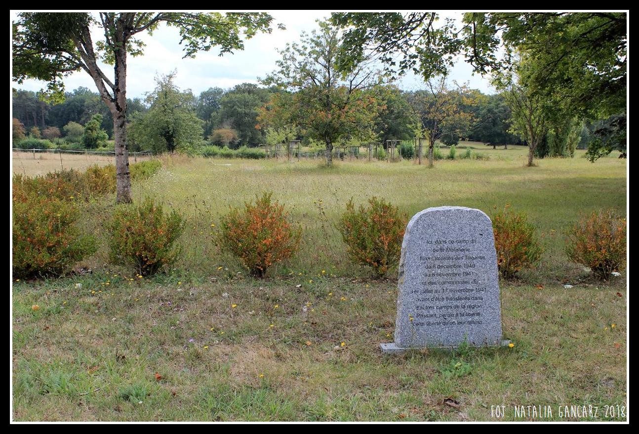
The 258 Gypsies detained at La Morellerie were the first group to settle in the newly formed Montreuil-Bellay camp for the Gypsies. After the deportation of Gypsies the farm was turned into a temporary detention camp for communists.
Description of commemoration
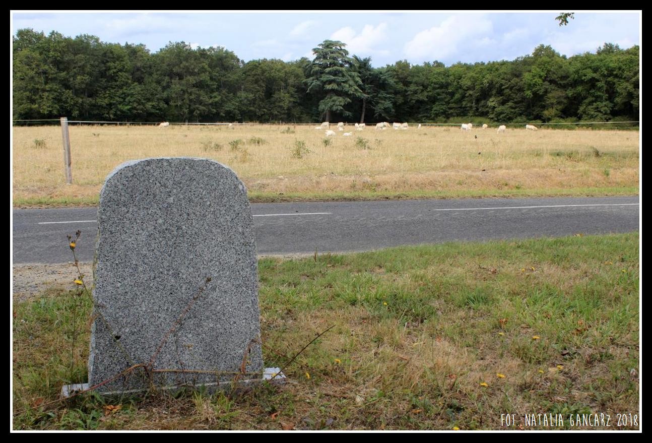
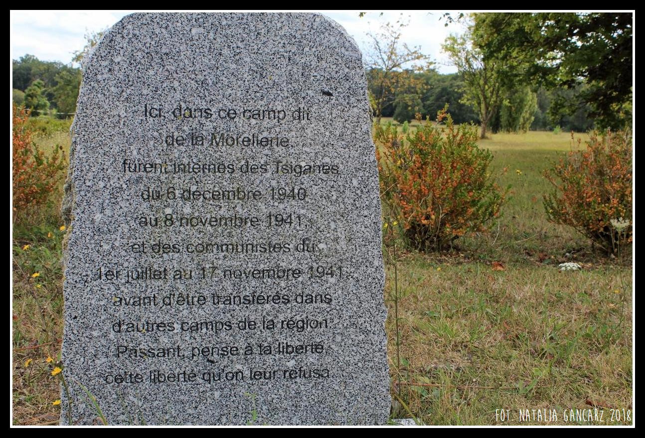
The memorial is located on the side of the D70 road towards Continvoir, on the left side of the entrance to the La Morellerie estate. It is a polished, light-coloured granite slab with rough edges and sides, set on a small rectangular foundation. The memorial is shaped in the form of a slightly widened, vertically positioned rectangle with rounded upper corners. The inscription commemorating those interned in the camp and their subsequent deportation, was created by Jacques Sigot, who sandblasted it in a simple, black sans serif font. Due to the colour of the granite, the inscription is hard to read. The text is available only in French.
Inscriptions
In French:
Ici, dans ce camp dit / de La Morellerie, / furent internés des Tsiganes / du 6 décembre 1940 au 8 novembre 1941, / et des communistes du / 1er juillet au 17 novembre 1941, / avant d’être transférés dans / d’autres camps de la région. / Passant, pense à ta liberté, / cette liberté qu’on leur refusa.
Translation:
Here, in a camp called Morellerie, before being transferred to other camps in the area, Gypsies were interned from December 6, 1940 to November 8, 1941, and communists were detained here in the period from July 1 to November 17, 1941. As you pass by, think about your freedom, the freedom they have been denied.
Date of the unveiling
January 14, 2008
Author
The text of the inscription: Jacques Sigot
Initiator
Vincent Audren
Address
Along the D70 road towards Continvoir – 3,8 km from the Avrillé-les-Ponceaux road sign
Avrillé-les-Ponceaux, 37340, France
Location
47°23’44.1″N 0°14’58.1″E
47.395570, 0.249474
<iframe src=”https://www.google.com/maps/embed?pb=!1m18!1m12!1m3!1d629.4889848922273!2d0.2489222082988738!3d47.395569998676116!2m3!1f0!2f0!3f0!3m2!1i1024!2i768!4f13.1!3m3!1m2!1s0x0%3A0x0!2zNDfCsDIzJzQ0LjEiTiAwwrAxNCc1OC4xIkU!5e1!3m2!1spl!2spl!4v1537305580527″ width=”600″ height=”450″ frameborder=”0″ style=”border:0″ allowfullscreen></iframe>
Materials
List of camps for the Gypsies in France: https://fr.wikipedia.org/wiki/Liste_des_camps_d%27internement_de_%C2%AB_nomades_%C2%BB_en_France
https://www.le-cartographe.net/index.php/fr/dossiers-carto/europe/160-linternement-des-tsiganes-en-france-1940-1946
Gallery
CAMP:


MEMORIAL: